Hi,
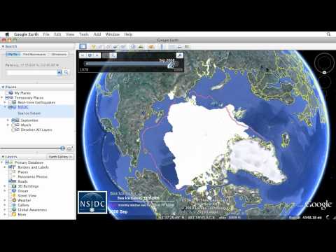
I am trying to plot an image overlay as a kml file on the map. I created an image overlay in google earth and saved as kml and tried to plot, but it would only show up as an empty square. I opened up the kml in notepad, and realized that while vertices of the kml file were there, the image path is pointing to a local folder on my hard drive which explains why the image wouldn’t show up.
I then tried an alternative method by georeferencing images (as raster) in QGIS, converting them to vector data, saving as KML, and then plotting. This way there would be no image path involved. Unfortunately still no luck.
Can anyone provide any insight on how I might be able to overlay images?
Thanks


