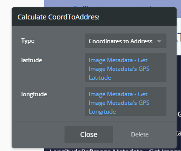
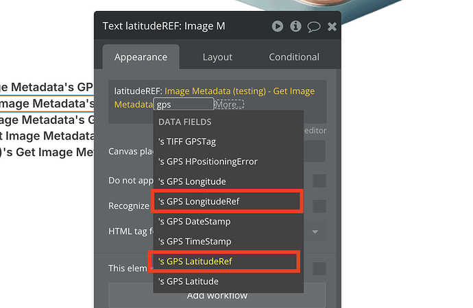
Hello. I’m trying to utilize the Image Metadata Plugin on my Bubble app to allow users to confirm the location of their photo’s metadata location before uploading it to the database. Bubble allows me to show the latitude and longitude by creating a string of text for each of the four elements (LatRef, Lat, LongRef, Long) in a text box.
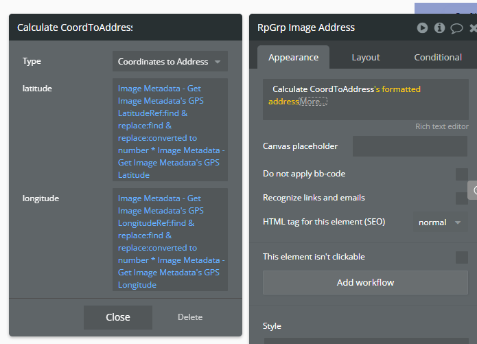
The problem is that I would also like to use the metadata location information to show approximate formatted addresses. Bubble’s Calculate CoordtoAddress function works fine with just the latitude and the longitude but because the LatitudeRef and LongitudeRef aren’t included, it gives me the wrong address.

Is there a way to combine the LatRef/Lat and LongRef/Long before uploading them to the database so I can use this information for the users to confirm the location before submission?
Thanks.


