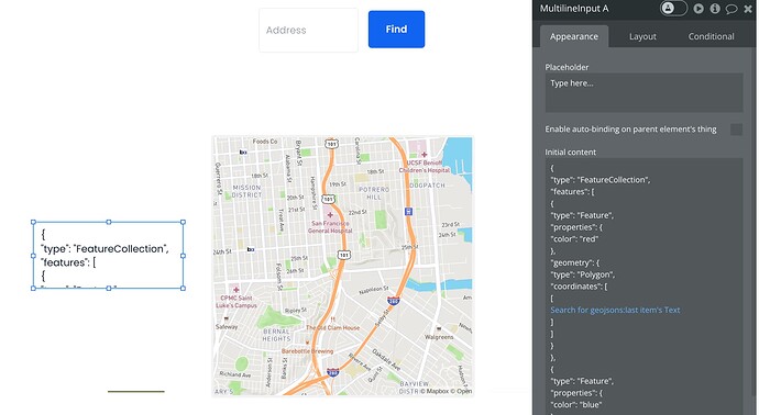
Hello,
My app requires that users set the location boundaries using polygon draw which is then attached to their object as geoJSON data. This all works great using the mapbox plugin!
Now, I need another map which displays all polygons (or at least a selection of them from certain objects) so that we can see multiple polygons on the map simultaneously. Using a line drawing with type set to polygon works, but it does not show separate polygons, instead, they are all linked together. I have also tried multi polygon, but I am struggling to load the geoJSON search into the multiline input I am using for the multi polygon as it is not formatted correctly.
Is there a way to do this using the plugin? Thank you for your help!


