Hello! First, I was very excited to find Mapbox’s Maps plugin.
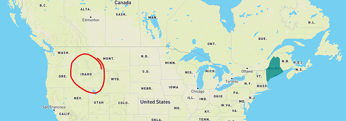
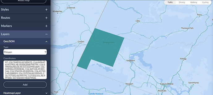
I am trying to add polygons that represent counties in the state of Idaho. I have the geoJSON and was able to successfully add the counties to a map using the Google Maps Extended plugin. However, I am also planning on adding heatmaps later and the Google Maps Extended plugin doesn’t support heatmaps – but Mapbox does.
I am so far unable to figure out how to add my counties using MapBox. I wish it had an add geoJSON option (really slick in Google Maps Extended).
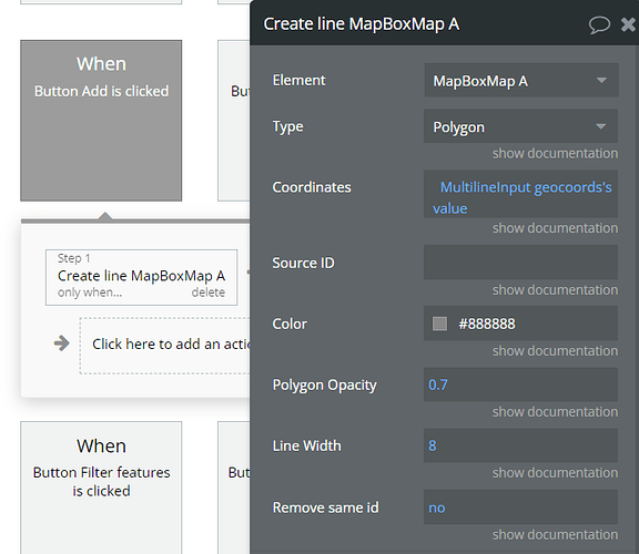
It appears to add a polygon in MapBox you need the coordinates in a string?
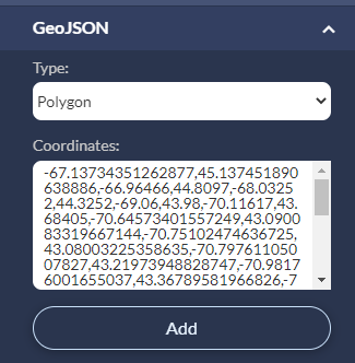
When I replace the default coordinates with the coordinates parsed from my geoJSON I get no output in my bubble app or the zeroqode demo bubble app.
I expect to see a polygon drawn over a county in Idaho but nothing appears.
Is something wrong with my coordinates? Why do they work for Google Maps Extended plugin but not Mapbox’s plugin?
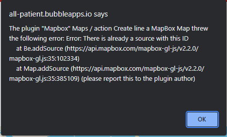
I am also seeing this error:
Here are my coordinates: 48.874926,-117.032107,48.999188,-117.032351,48.999791,-116.757185,48.999943,-116.757234,49.000099,-116.417503,49.000518,-116.376039,49.001146,-116.369128,49.000846,-116.049086,48.5153339981809,-116.049048640638,48.502062000798794,-116.04904761937901,48.500472,-116.784878,48.674197,-116.78484,48.674195,-116.786625,48.686544,-116.785542,48.847402,-116.785174,48.84666529306679,-117.03238462208,48.874926,-117.032107
Really appreciate your help!

